How Commercial Land Appraisers in Middlesex County Value Development Sites
The best commercial land valuations are anchored in local texture. In Middlesex County, New Jersey, development land sits at the crossroads of multiple market forces: the logistics boom along the Turnpike spine, a steady office and life science presence near Rutgers and the Route 1 corridor, established suburban retail nodes that keep reshuffling, and a dense lattice of environmental regulation. Commercial land appraisers operate in the middle of those forces. Their job is not simple math. It is an exercise in probability, entitlement strategy, and translating risk into dollars for lenders, owners, and municipal decision makers.
This is a practical look at how commercial land appraisers, including commercial property appraisers in Middlesex County, build reliable opinions of value for development sites. The work overlaps with what commercial building appraisers do, but raw or partially improved land demands a different toolkit. Think less about replacement cost and more about feasibility, timing, and the quality of the path from dirt to doors.
The Middlesex County backdrop that shapes land value
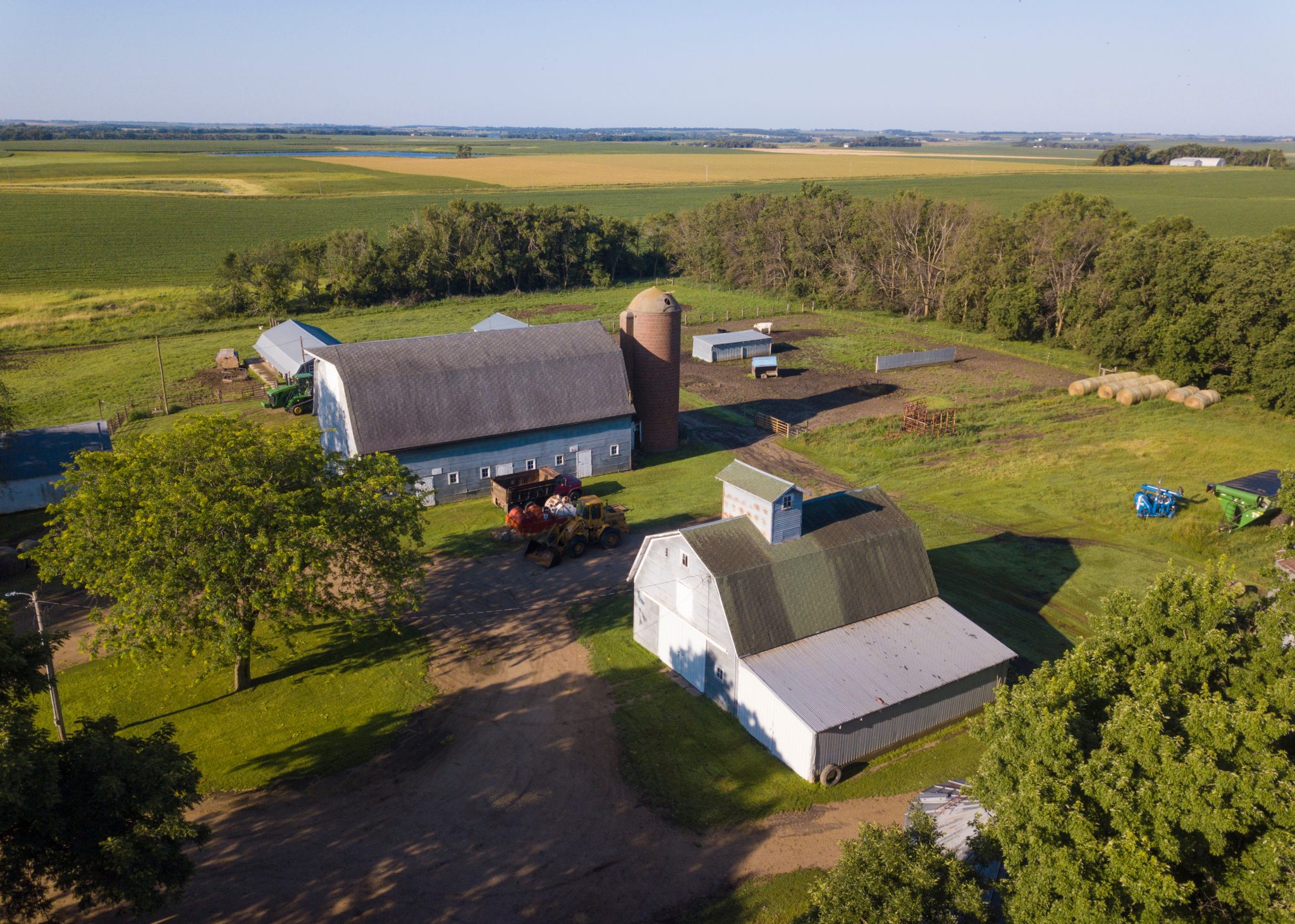
Any appraisal starts with context. Middlesex County benefits from location and infrastructure that keep demand high, especially for industrial and mixed commercial uses. The New Jersey Turnpike, Route 1, Route 9, and I 287 frame the county. Interchanges 9 and 10 pull heavy traffic, and Exit 8A to the south has influenced pricing farther up the corridor. Proximity to Port Newark and Elizabeth adds weight for distribution users, and that demand has pulled through to land for modern warehouses with clear heights north of 36 feet and deep truck courts.
Municipalities do not behave the same. Edison, Woodbridge, and Piscataway have a long industrial base with conversions and expansions. New Brunswick and North Brunswick see institutional pull from healthcare and higher education. South Brunswick, Cranbury, and Plainsboro have attracted large format logistics and some research and development users. Coastal towns like Perth Amboy, Carteret, Sayreville, and South Amboy carry waterfront and brownfield baggage along with redevelopment upside.
Appraisers who work these markets day to day know the spread in pricing across corridors and towns. They also understand how scarcity plays out: a deep parcel with clean title and sewer capacity along a county road can outprice a similar site one municipality over that faces a sewer moratorium, poor access geometry, or wetlands encumbrances. A credible opinion of value reflects those real frictions, not just a comp grid.
What “highest and best use” really tests on raw land
Every commercial property assessment in Middlesex County hinges on highest and best use, both as if vacant and as if improved. For land, the “as if vacant” analysis rules the day. Appraisers test the use that is legally permissible, physically possible, financially feasible, and maximally productive.
Legally permissible is not just the base zoning table. It includes overlays and constraints that are ubiquitous here:
- State and federal wetlands with required transition areas.
- Flood hazard areas under the NJ Flood Hazard Area Control Act and FEMA mapping.
- Historic fill and contaminated soils that trigger the New Jersey Site Remediation Reform Act, with Licensed Site Remediation Professional oversight and potential deed restrictions.
- Coastal rules for waterfront towns, including tidelands claims and specific approvals.
- County access control for signalized intersections and driveways along county roads.
- NJDOT access rules for Routes 1, 9, 18, and 27.
A use can be allowed by zoning but fail on access or utilities. Physically possible involves more than slopes and parcel shape. In Middlesex County, sanitary sewer and water capacity drive feasibility. A site may sit next to a main yet still lack allocation. Stormwater requirements tightened in 2020 to require green infrastructure. That can eat acreage for basins, bioretention, and infiltration trenches. An appraiser who ignores that loss of net buildable area risks overstating value.
Financial feasibility ties back to rents, absorption, and exit pricing for the end product. Industrial has been a star performer, but not every site earns a warehouse. Rents near Exit 10 and Route 1 may support 40 to 60 dollars per foot of land-implied value, while secondary locations lag. For office or lab flex, tenant improvements and smaller user pools could shift the answer. For retail, driveways and signalized access often make or break income potential, and that filters into the land’s worth.
Maximally productive is the capstone. It may point to a smaller building and extra trailer parking rather than a full floor area ratio buildout. It might indicate phased development to match absorption. Appraisers state a single highest and best use in the report, but internally they often assign probabilities to multiple scenarios, then translate that into a single reconciled value.
Why comp hunting on land is harder than it sounds
Commercial land rarely sells with clean, apples to apples terms. A parcel might transfer with approvals in place, or with a development agreement that shifts infrastructure costs to the municipality. Sellers sometimes carve out easements or keep billboard income. Buyers might obtain credits for brownfield cleanup or tap NJEDA incentives that change the economics.
Commercial appraisal companies in Middlesex County respond to this by stretching what counts as a comparable sale and making transparent adjustments. They pull:
- Raw land trades without approvals, then adjust for entitlement status, time, and location.
- Approved site sales where the buyer paid up for certainty and time savings.
- Built deals where pricing is conveyed through ground leases or master leases with purchase options, which can be imputed back to a land value based on market cap rates and yields.
A comp in South Brunswick with warehouse approvals and a traffic signal commitment is not equal to a raw tract in Sayreville beside tidal wetlands. Skilled commercial land appraisers in Middlesex County will often bracket the subject with multiple scenarios, explaining the range rather than pretending to find a perfect twin.
The three core valuation paths for development land
Commercial building appraisers lean on cost, sales, and income approaches for improved assets. Land appraisers use the same three frameworks, but the mechanics differ.
-
Sales comparison approach. The backbone for most land assignments. It relies on verified land sales, then uses paired sales analysis and qualitative adjustments for location, size, entitlement status, utility capacity, environmental burden, access, and timing. The trick lies in adjusting for approvals and for extraordinary costs that the buyer inherited.
-
Income approach, usually via land residual or subdivision analysis. The appraiser models the project a competent developer would build, estimates stabilized income or lot sale proceeds, deducts direct and indirect costs, soft costs, contingencies, financing and carry, and developer profit, then discounts remaining cash flow to present value. This is essential when comps are thin or when the land will be delivered in phases.
-
Cost approach. Rarely primary for land unless the subject is a partially improved tract with meaningful horizontal improvements like roads, utilities, or bulkheads. In that case, the appraiser values the land as if raw, adds depreciated site improvement costs, and cross checks with the other approaches.
When the market is moving quickly, the income based framework often carries more weight. It forces a current look at rents, exit cap rates, and construction budgets, which is where surprises tend to hide.
Entitlements as a currency of value
Middlesex municipalities vary in their stance toward variances and redevelopment. Some towns formally designate redevelopment areas and adopt plans that let developers negotiate payment in lieu of taxes agreements and flexible bulk standards. Others rely on the zoning board for site specific relief and hold a harder line.
Appraisers translate that variability into probability. If a warehouse use is not permitted but the corridor pattern makes it plausible with a variance, the appraiser may build a weighted model. For example, a 70 percent probability of approval for a 0.40 FAR warehouse, a 20 percent probability of a smaller industrial footprint with lower coverage, and a 10 percent probability of a fallback to lower value outdoor storage. The weighted result becomes a single land value opinion, with narrative support that explains the logic. Lenders and credit committees appreciate seeing the moving parts, not just the bottom line.
Timing matters too. Even a by right plan can take 6 to 12 months from application to stamped site plan. Add permitting for wetlands or flood hazard and the calendar can extend past a year. If a use needs a variance, appraisers will often include a carry cost line item that covers taxes, interest, and overhead during entitlement. That carry is real money and reduces land value today.
Case examples from the field
A twelve acre parcel in Edison: The tract sat along a county road with two curb cuts and older light industrial zoning. Rough mapping suggested about three acres of wetlands with 150 foot buffers, then recent delineation pushed the transition area to 300 feet in places. After engineering, the net buildable area fell from 10 acres to about 6.5. Industrial was still the most sensible use, but the expected building shrank from 130,000 square feet to roughly 95,000 when modern truck courts and stormwater were accounted for.
The owner believed comps near Exit 10 at 2 million dollars per acre applied to all 12 acres. The appraiser discounted heavily. First, they adjusted for net developable area. Second, they removed the land taken by stormwater under the 2020 green infrastructure rules. Third, they allocated a robust line for environmental due diligence and small scale soil management based on historical fill in the area. The reconciled value tracked the amount a competent developer could pay to achieve a mid 40s percent coverage modern facility with a defensible yield. The number landed closer to 10 to 12 million total than the 24 million the owner expected.
A brownfield water edge site in Carteret: Sales comparison was thin, because waterfront warehouse sites were trading in highly structured deals. The appraiser built a residual model for a 300,000 square foot cross dock facility, then introduced two scenarios. One assumed an NJDEP approved remedial action with a cap, allowing shallow utility trenches with engineering controls. The other assumed deeper soil management with higher export and import costs. The delta between the two cases was more than 20 dollars per square foot on the implied land value. By weighting toward the more likely remedial path, the appraiser defended a price that still supported the buyer’s pro forma and a lender’s loan to value threshold.
Utilities, traffic, and the geometry of feasibility
The physical math on land valuation is not glamorous, but it drives value. A few recurring items separate experienced commercial appraisal companies in Middlesex County from generalists.
Sewer and water. Allocation letters are worth their weight in steel. A site near a trunk line is not the same as a site with confirmed capacity and a path to a will serve letter. Where allocation is tight, appraisers heighten risk, extend the entitlement timeline, and raise carry. All three reduce present land value.
Stormwater. Middlesex soils vary. Infiltration rates determine whether shallow basins and bioretention can shoulder the load or whether larger basins consume acreage. The 2020 requirement to use green infrastructure changed some standards projects into site planning puzzles. Appraisers who work closely with civil engineers adjust site yield to reflect real basin footprints rather than the optimistic early sketches seen in marketing packages.
Traffic and access. County and state roads bring layering. The Middlesex County Planning Board reviews access along county roads. NJDOT controls state highways and often limits new driveways. Signalized intersections come with warrants and queuing analyses. If a parcel lacks safe left turns or needs a shared driveway with a neighbor, that friction belongs in the value.
Frontage and shape. Long narrow parcels can kill trailer parking or force split loading docks. Irregular boundaries complicate subdivision and phasing. Some of the strongest land sale adjustments you will see are for shape and frontage that either unlock or choke site planning.
Environmental realities, not footnotes
In a county with industrial history and large waterfront reaches, environmental issues are common. The Site Remediation Reform Act shifted case management to Licensed Site Remediation Professionals. For appraisers, that means they rely on Phase I and limited Phase II reports, draft remedial action workplans, and, in some cases, recorded restrictions that limit residential use or cap disturbance depths.
Historic fill along the https://knoxmdmy141.huicopper.com/how-location-and-access-influence-commercial-property-appraisal-in-middlesex-county Raritan River and Raritan Bay, or near rail lines, is not unusual. It does not automatically sink a deal, but it introduces disposal and import costs that need line items and contingency. Flood hazard areas demand elevation and compensatory storage that can chew into site area and cost. Tidal influences and tidelands claims along certain shorelines add title complexity. None of these are abstract. They drive spreads between headline asking prices and the number that an underwriter will accept.
How taxes and assessments weave into land value
Commercial property assessment in Middlesex County rests with municipal assessors, with appeals heard by the County Board of Taxation or the Tax Court of New Jersey. For raw land, assessments can lag reality because sales are sparse and the income approach is harder to deploy. Appraisers do not set assessments, but they do model carry costs that include current taxes and realistic projections post approval. When a redevelopment plan with a payment in lieu of taxes exists, appraisers separate project value from the incentive value. PILOTs are deal economics for the developer, not a permanent attribute of the dirt. Lenders watch that distinction closely.
Residual modeling, the workhorse behind the scenes
On many Middlesex assignments, the income approach via land residual is the fulcrum. A disciplined model includes:
- Gross building area matched to real site yield, not the aspirational FAR from a flyer.
- Market rents by user type, with credible concessions and downtime.
- Stabilized expense ratios and non recoverables appropriate to the submarket and asset type.
- Direct construction costs, tracked to current bids or indices, with escalation where timing extends past a year.
- Soft costs, contingency, finance, and developer fee that reflect the risks of entitlement and construction in this jurisdiction.
Even if an appraiser ultimately reconciles to the sales comparison approach, a well built residual cross check will flag if the implied land price assumes rents or costs that the market does not support. That checkpoint saved more than one lender from funding an acquisition at numbers that only worked under 2021 rent growth and 2020 interest rates.
Due diligence that moves the needle
Developers know the drill. Appraisers tune it for value. A concise checklist that fits Middlesex County conditions tends to include the following:
- Confirm zoning, overlays, and any redevelopment plan language, then model timing and probability of approvals or variances with counsel feedback.
- Commission wetlands delineation and pursue a formal NJDEP Letter of Interpretation if boundaries are critical to yield.
- Pull utility capacity letters and map realistic off site improvement obligations, including pump station upgrades or extensions.
- Order traffic scoping with county or NJDOT pre application meetings to test driveway locations and signal prospects.
- Investigate environmental conditions beyond a Phase I where flags appear, including historic fill, flood hazard mapping, and any recorded use restrictions.
Items on that list are not just boxes to tick. Each one can swing value by millions on a mid sized tract. Commercial property appraisers in Middlesex County spend as much time sourcing documents and speaking with engineers as they do in spreadsheets, because the inputs make or break the result.
When assemblage and plottage are part of the story
In built out corridors, the only viable development path involves stitching smaller parcels together. Assemblage creates plottage value, but capturing it requires realism. An appraiser will:
- Determine the minimum set of parcels needed for a functional site plan.
- Apply premiums to key parcels with choke points or critical frontage, not to every lot in the block.
- Build an acquisition schedule with carry and resistance pricing for holdouts.
- Include demolition, relocation, and environmental closure costs where small industrial or retail users have left traces.
Assemblage analysis tends to produce a range, not a bullseye. The reconciled land value reflects the weighted likelihood of getting from a fragmented map to a buildable pad without overpaying for the final puzzle piece.
How lenders and investors read these appraisals
Lenders ask commercial appraisal companies in Middlesex County to answer two questions. What is the land worth as is today, and what will it be worth upon completion of approvals, or at stabilized operations if the financing anticipates vertical construction? A strong report separates those stages with distinct value opinions, then ties them together with a timeline and risk narrative. It states assumptions clearly, such as receiving a wetlands LOI within a certain quarter or securing a county access permit without a new signal.
Equity investors use the same reports to test whether their basis sits below the market under a sensible pro forma. They focus on rents, market support for trailer parking or outside storage premiums, exit cap rates, and construction cost assumptions. Where appraisers show a range and defend the midpoint, investors adjust to their own risk appetite, but they respect the architecture of the appraisal.
A word about industrial land pricing expectations
Industrial land captured headlines with record trades in the 2020 to 2022 window. Pricing near the best Turnpike interchanges jumped, with some approved sites in and around Middlesex trading at levels that implied land pins well above prior cycles. Since then, costs escalated, interest rates rose, and absorption cooled in certain formats. Today, pricing spans a wide band. Approved, well located sites near Exit 10 or along Route 1 with clean utilities still command strong numbers. Secondary sites with entitlement friction or environmental headwinds find the market more selective.
Appraisers do not pick a number to please the cycle. They build to it. When the model says a site only supports a land basis at 25 to 35 dollars per square foot of planned building area, that becomes the anchor. If sellers cite a past trade at 50, the appraiser explains the differences in approvals, carry, traffic fixes, and remediation. The conversation shifts from emotion to math.
How commercial building appraisers intersect with land
Improved properties can hide surplus or excess land. Commercial building appraisers in Middlesex County separate that component, test its highest and best use as if vacant, and value it using the same land frameworks. Surplus land adds to the whole but cannot stand on its own. Excess land can be subdivided and sold, which pulls in many of the same entitlement and access questions covered above. A careful separation helps owners see whether carving off a pad or adding a second building is actually accretive.
What sets seasoned local appraisers apart
Experience looks like knowing which municipalities will consider a warehouse with a conditional use permit and which will not entertain the conversation. It looks like recognizing that a site along the Raritan with a charming view also sits behind a floodwall with limited egress during major events. It looks like picking up the phone to confirm that a supposed sewer main is actually a force main that cannot accept a new lateral without a costly pump solution.
Commercial land appraisers in Middlesex County have reputations with planning staff, engineers, and brokers. They leverage those relationships to verify comps and understand approval pathways. The best of them write reports that let a reader retrace their steps. They do not hide the uncertainty. They assign it weights, timeframes, and dollar values.
Putting it into practice
Land value is not a single immutable figure. It is a function of what can be built, on what timeline, with what level of certainty. In Middlesex County, the difference between headline potential and bankable plans is often a year of work, a wetlands line shifted by 60 feet, a pump station upgrade, and a revised driveway that wins a county engineer’s approval. Appraisal is the discipline that pulls those practical realities into a number.
For owners, that means engaging early with professionals who know the county’s moving parts. For lenders, it means expecting a layered analysis that separates today’s as is value from tomorrow’s as entitled value. For investors, it reinforces the old lesson that return is tied to risk, and that risk lives in soil logs, capacity letters, and board calendars as much as in rent charts.
Whether you are scanning options in South Brunswick, evaluating a brownfield in Carteret, or weighing an assemblage in Piscataway, a thorough, locally grounded appraisal helps you pay the right price, not the easy price. And that is the difference between a project that performs and a pro forma that only looked good on paper.